- Children from Shijin Kindergarten Made a Study Trip to Shilin UGGp
- Have a spring date with Shilin flowers
- Call for hosts of the 12th International Conference on UNESCO Global Geoparks in 2027
- Call for applications: UNESCO Global Geopark Mentorship Exchange
- Representatives of Changshan Aspring UGGp Visited Shilin UGGp
- Shilin UGGp Visited Xingyi Aspiring UGGp
- Children from Peiqi Kindergarten Visited Shilin UNESCO Global Geopark
The Major Stone Forest Area -- Liziyuanqing Stone Forest Area
Located in north-central part of the Shilin Global Geopark, the Major Stone Forest and the Liziyuanqing Stone Forest, particularly the former one is the traditional and best-known site where people can realize what“stone forest”means because finest pinnacle karst is presented very well. These two stone forest clusters occur in close association and, because of hydrological control, distributed in two immediate karst depressions with a hill ridge in between, acting as local watershed.
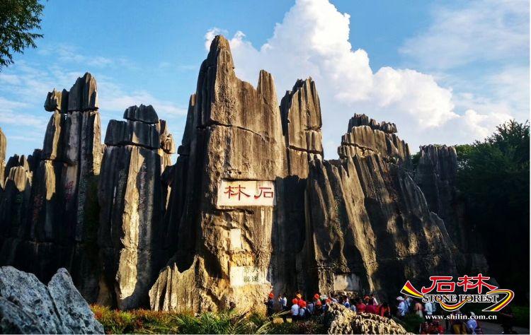
Highlight of the Stone Forest

Distant view of the Major Stone Forest
Here the stone forest clusters developed in massive, thick-bedded pure limestone (Maokou formation of the Middle Permian). Maokou limestone is the immediate upper succession of Qixia dolomitic limestone. Lithological difference has resulted in distinctive stone forest styles. Contrast to the dolomitic limestone that tend to suffer
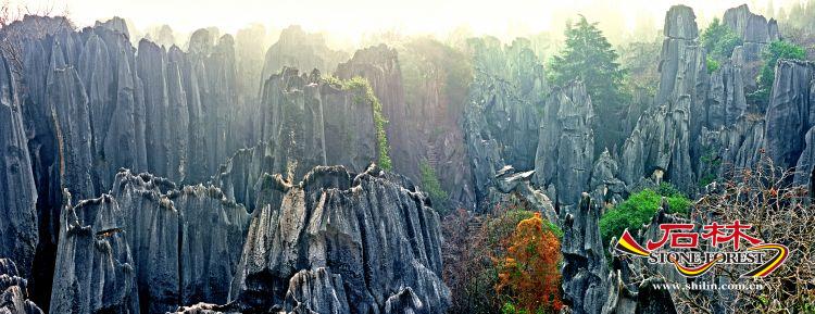
The Major Stone Forest area(photo by Wang Limei)
differential solution and therefore have ragged surface, the pinnacles in the Major Stone Forest, because of high carbonate purity, are the typical of pinnacle karst in the world that represented also by other celebrated karst sites like Bamaraha of Madagascar and Mulu of Malaysia. Also because of the purity in composition, the rock surface is pretty smooth and chiseled with blade-like ridges and rillenkarren. Though colonized also by lichens the stone forest here is in pale-gray color as a whole due to the lithological homogeneity.
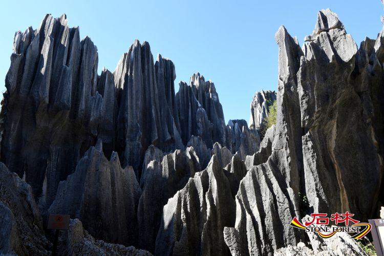
Razor-sharp pinnacle karst

Acute limestone spire
The Major Stone Forest area is an outstanding site showing how the stone forest karst forms. From a high position, it can be viewed clearly that the overall topography is a depression and the stone pillars and pinnacles distribute from the slope side right to the bottom. The lowest point of the depression is a window of a subterranean river that floods some dissolution corridors, in a zigzag shape. The subterranean river water reemerges in neighboring west basin after a short flowing under a hill ridge. This overall topography of this locality indicates the intimate relation of karst

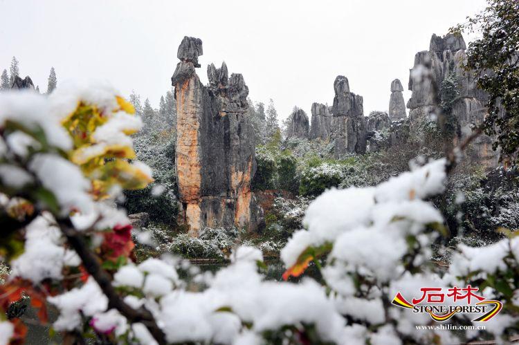
The Minor Stone Forest area
and hydrology and the critical role of both surface water and groundwater in the formation of the stone forest karst. Closely looking at the stone pillars, surface solution feature can be easily identified: the basal part of the pillars is dominated by recessive, rounded horizontal flutes, which is the imprint of subsoil solution and represents the moving direction of the groundwater. On the other hand, the upper part of the pillar is dominated by rillenkarren which is obviously the result of subaerial solution by rainwater. There are two principal conjugate joint sets, one orientated at northwest (320-330°) and the other at northeast (40-70°), dissecting the limestone massif. The joints, after enlarged by water solution, become corridors following which most of the present day tourist tracks were built.
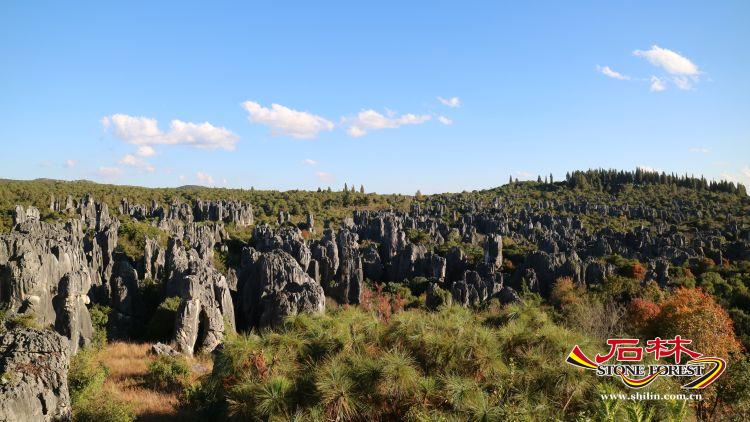
Liziyuanqing Stone Forest Area
The Major Stone Forest is the primary tourist area of the Geopark, appealing over 2 million visitors each year. There are a number of reasons for its everlasting attraction. Firstly, it is one of the finest pinnacle clusters of the Geopark that features perfect limestone pillars and spires of various shapes. Combined with beautiful surface solution pattern and comparative vegetation, it expresses exceptional natural beauty beyond the words. Secondly, in the context of culture, there is a long-standing linkage between the landscape and the Yi, particularly the Sani people. There are many scenes endowed with the native people's mythology, such as“Ashima”, a stone pillar resembling vividly the legendary beautiful and brave Sani girl, standing gracefully with a basket on her back and looking into distance with slightly raised face. Each year, the most important traditional ethnic festival,the Touch Festival, is held at the Major Stone Forest area.
Thirdly, on the surface of the stone pillars there are many age-old calligraphy inscriptions eulogizing the natural wonder.
